Begin with a journey that is difficult today
A resident needs to reach a transport hub before work. A shopkeeper needs a small delivery from a wholesaler. A family needs a comfortable ride to a clinic. These journeys belong in the same city plan, even when they need different vehicles.
Start by mapping where people and goods need to move, when the need arises and what currently makes the journey difficult. The answer should guide the service area, hours and vehicle mix.
Give each vehicle a useful role
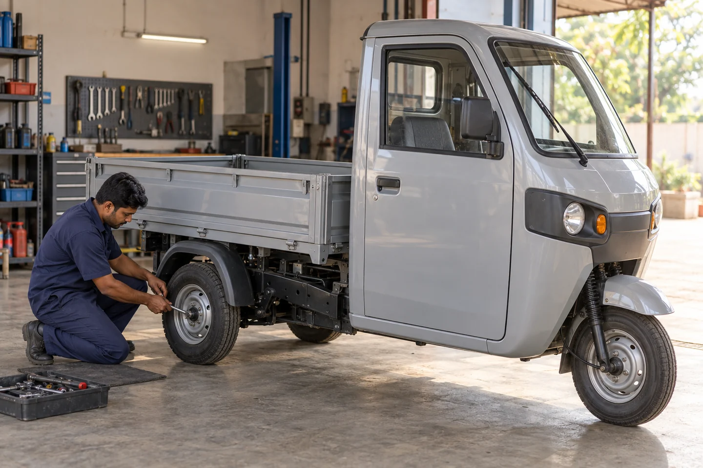
Two-wheelers can serve suitable short journeys and light deliveries. Passenger and cargo three-wheelers can support neighbourhood movement. Cars and compact goods vehicles can serve journeys requiring more space or carrying capacity.
The useful mix depends on local conditions, safety, accessibility and demand. Connect these services with major transport links, markets and other destinations. Design passenger and cargo work for their actual loads and operating needs.
Build with the people already moving the city
Local operators and Captains know where journeys begin, when demand changes and where service breaks down. Involve them alongside residents, merchants and public institutions before fixing the plan.
The International Transport Forum’s work on informal transport calls for ongoing engagement with service providers and their inclusion in mobility planning. That is a useful starting point for improving existing local capacity.
Make a network out of the pieces
A connected service needs more than matching vehicles to requests. It needs vehicle care, user support, workable payments, clear service information and a way for the authority to review performance.
Sparrow brings these workstreams into one implementation programme. The first step is a focused service blueprint: the journeys to serve, the people delivering them and the standards the public authority wants the network to meet.